Data
Wondering where the best places are to look for LiDAR data to download? Here they are!
Wikipedia: US LIDAR A page devoted to all known US state- and county-wide collections; perhaps an "all countries with LIDAR" wikipage can't be too far behind?
NOAA's Data Access Viewer This is one straightforward place to find LIDAR data readily available for downloading, but in keeping with NOAA's mission, the focus is on states that have at least some coastline.
Earth Explorer (USGS) Enter LIDAR in the Data Sets tab search window, or find the checkbox under Digital Elevation.
NOAA's State Projects Page Select states of interest in the "Projects in My State" pull-down menu to ferret out clues about which state agencies *might* have data that they *might* be willing to share with you
USGS Seamless Data Distribution Service This is increasingly the main (federal) repository for LiDAR info, but using the application takes patience.
OpenTopography Data, DEMs, and some tools; not that much data yet, but seems to have the right ideas and has received NSF $ to beef up
LiDAR Data Portal Over 1 million sq km of already-collected LiDAR data and derived information, either free or for sale at nominal cost
USDA Data Gateway Although bulk of data is NAIP imagery, some LiDAR-based elevation info is here; see Get Data button
Puget Sound LIDAR Consortium Folks interested in Western Washington state can get LIDAR data here from this productive consortium
Software
The software that we've found most useful and recommend for working with LiDAR:
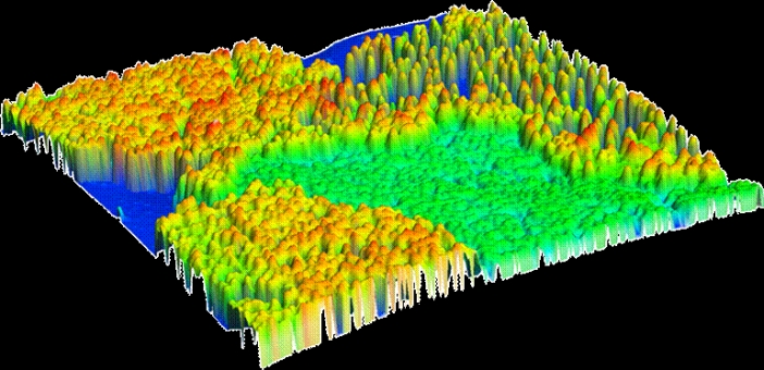
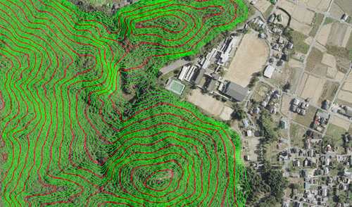
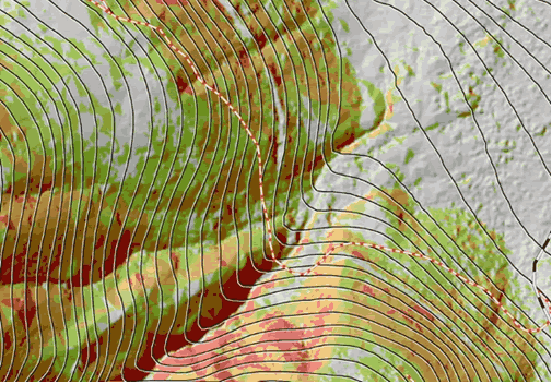
QuikGrid This is a free Windows program that can quickly turn millions of x,y,z points into a grid and contour plot. DXF file export is supported (for import into OCAD or other programs). This program can handle more data than Surfer or Global Mapper, and per datapoint is faster at what it does. You can also get a view of the data density by overlaying the points themselves on the contours made from them.
Surfer 9.0 Decent all around Windows/PC program that just about does it all (including generating contours and grid math) without being Ferrari priced. [It's priced around $700.] Widely used for these reasons.
Global Mapper Very useful; geared to mapping, including built-in support to download certain topos (USGS) and aerial photos overlayed immediately on (or under) your LIDAR data. Can also generate contours, has DXF export, and many data interconversion utilities. Windows; demo program available free (no exporting/printing), full program $300, discounted for nonprofits.
Fusion A very powerful - and free - program courtesy of USDA foresters. But make sure to turn off pop-up blocking whenever you use it and its companion programs!
IDL Very widely used in the scientific community for data analysis and visualization; PC, Mac and Unix platform support, all sorts of modules.
QT Modeler Among the best Windows/PC programs designed for very fast visualization of large datasets like LIDAR data. Easy to use, powerful, numerous built-in algorithms. Unfortunately rather expensive, but can download a 30 day free trial. They also have a free viewer product (QT Reader) that can be used to look at some data models (like GeoTiff DEMs) but it can't import raw data or generate contours from such.
ALDPAT ALDPAT = Airborne LIDAR Data Processing and Analysis Tools; and it's free. Several tutorials are available, like here and here.
MARS Merrick's LiDAR data viewer is free, and has several useful visualization features.
Win32Pad A free text editor without the file size/line limitations commonly found in NotePad and Excel, so it's fine for doing simple things with LiDAR files.
Pylas Free python module to convert LAS LiDAR data into shapefile format
OCAD 12 OCAD 12 Orienteering includes a wizard for handling LiDAR data.
